maximum reflectivity
real-time precipitation

doppler

information
radar map courtesy of Protezione Civile FVG www.protezionecivile.fvg.it
VMI (Vertical Maximum Intensity): maximum value of the vertical reflectivity over each point.
The reflectivity Z is a quantity directly related to the dimension of particles suspended in the air, and thus it estimates the water content of the cloud. Z values higher than 20 dBZ are usually associated to (but not necessarily) precipitation to the ground, which normally becomes intense in areas with a reflectivity above 40 dBZ and very intense when 50 dBZ are reached or exceeded (typically in correspondence to thunderstorms).
SRI/SRT (Surface Rainfall Intensity/Total): estimation of radar precipitation accumulated on the ground instantaneously/in a period of 6 hours.
Real-time data not validated; interpretation may lead to errors.
maximum reflectivity
information
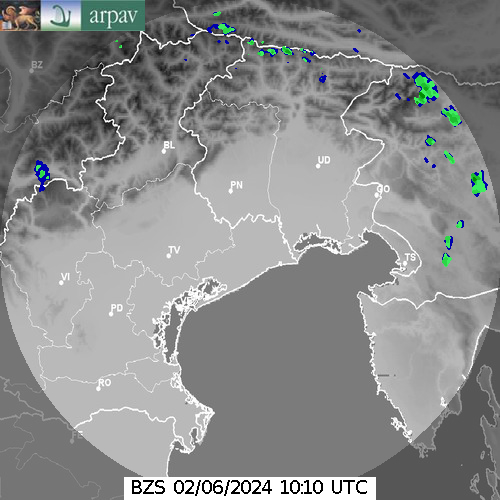
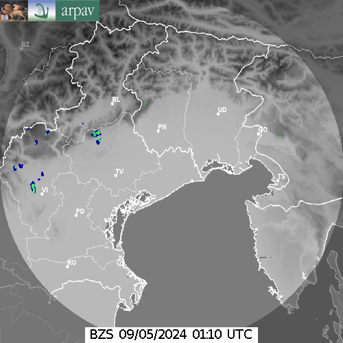
radar map courtesy of ARPAV www.arpa.veneto.it
real-time precipitation

information
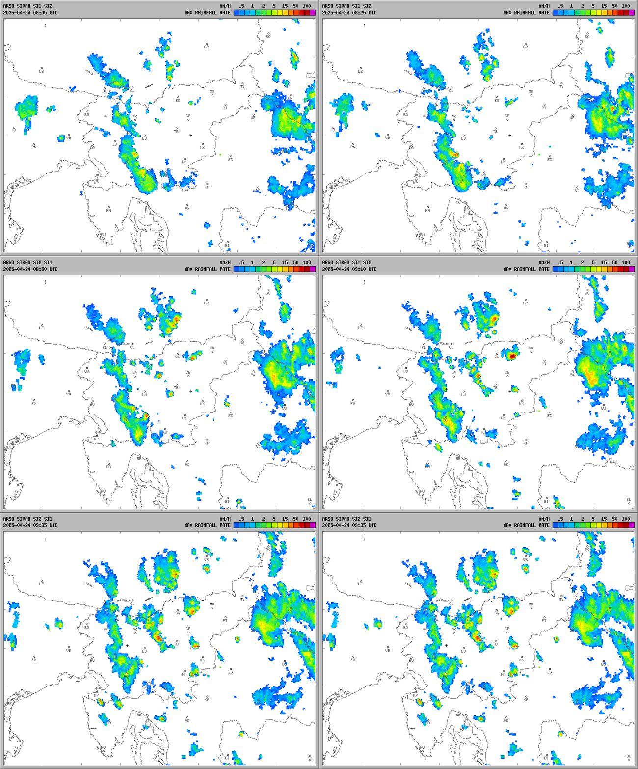
radar map courtesy of ARSO www.arso.gov.si


